


Caution
High Hazard
Extreme
Active/Upcoming Event
Chun’s Reef & Laniakea
Water Temperature
...
Wave Height
...
Wind
...
Laniakea Beach Support Park is three acres of undeveloped land owned by the City and County of Honolulu on the inland side of Kamehameha Highway at Laniakea. A sand beach fronts the park, but is lined with a rocky shelf. Seaweed growing on the shelf and the ocean bottom attracts turtles to the beach, many of them coming ashore to rest on the sand near Pohaku Loa Way. During periods of high surf, a powerful rip current runs through the wide channel on the west side of Laniakea. Surfers use the long sand beach fronting the park to reach several surf sites besides Laniakea, including Hultin's and Himalayas.
amenities

Beach Access

Metered Parking

Picnic

Restrooms

Showers
activities

Snorkeling

Surfing

Swimming
prohibitions

No Alcohol

No Camping

No Cars on Sand

No Fire Pits

No Smoking
hazards
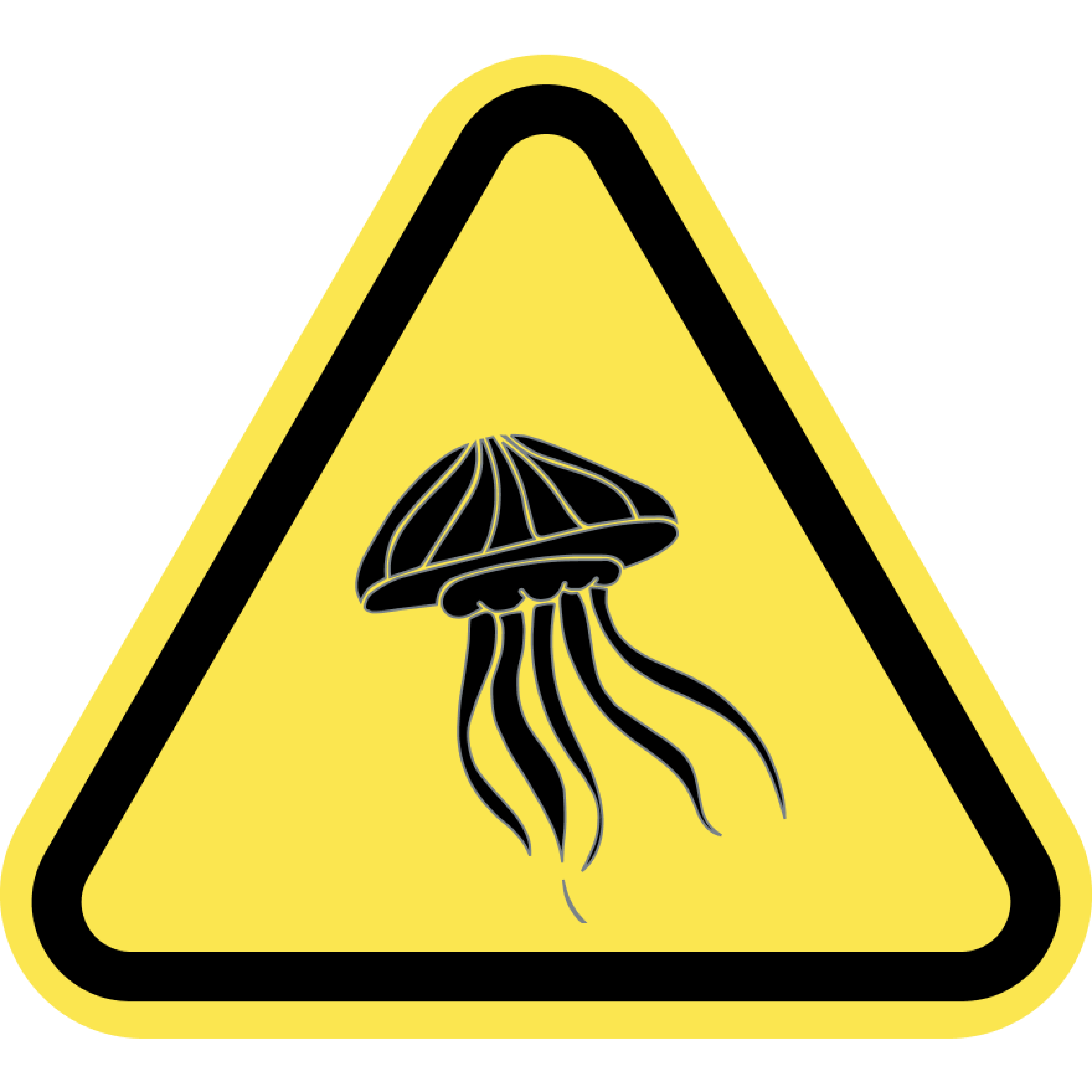
Jellyfish
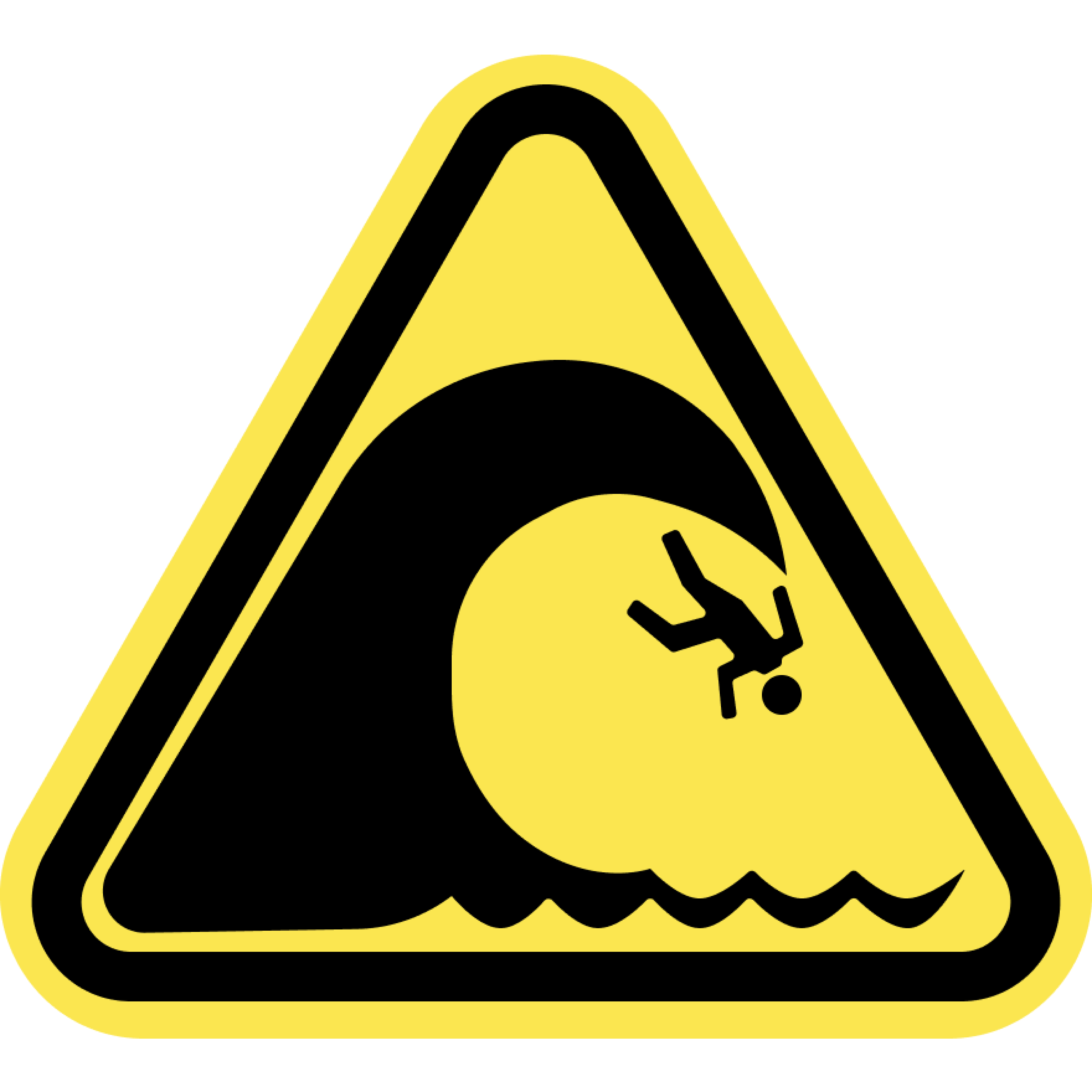
Large Waves
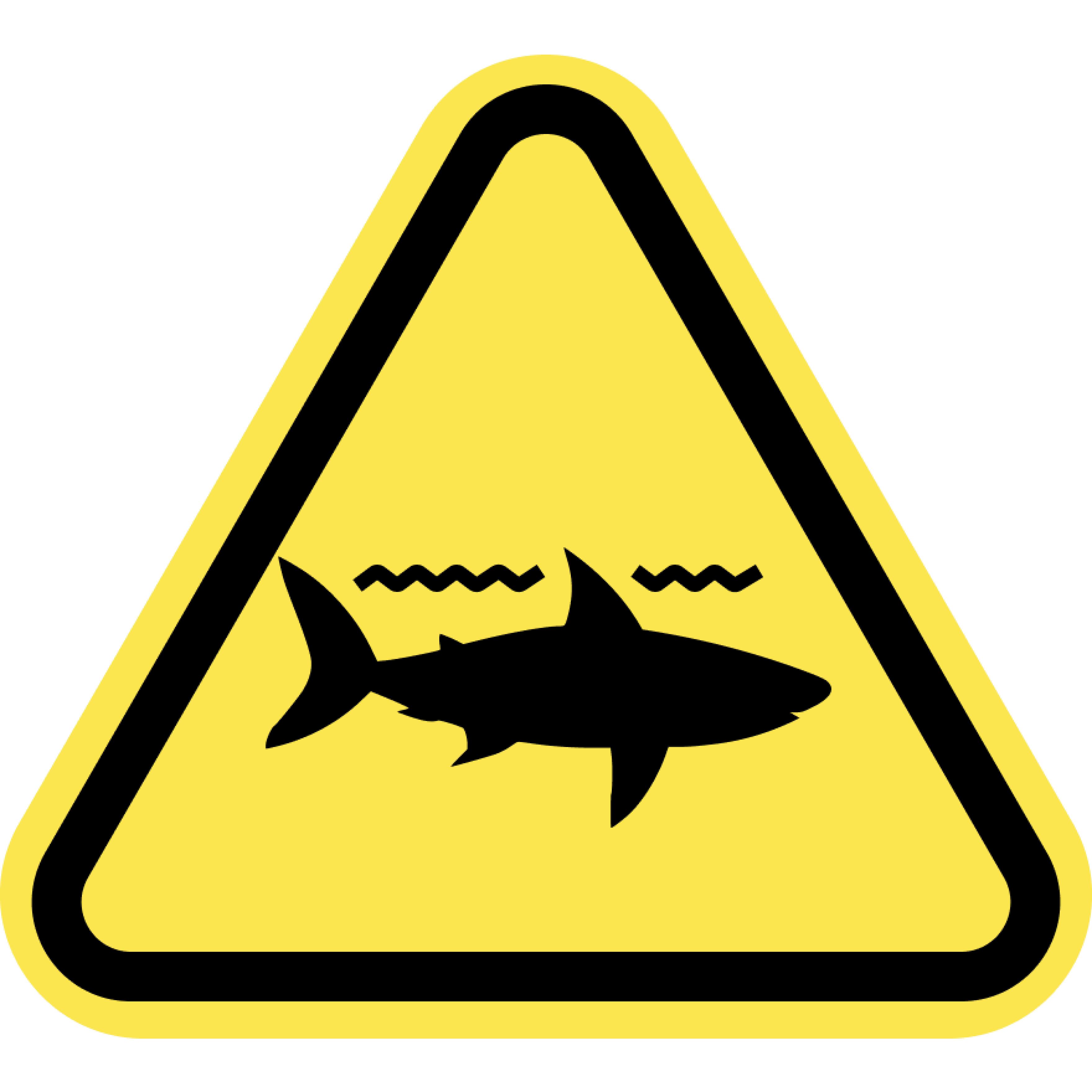
Sharks
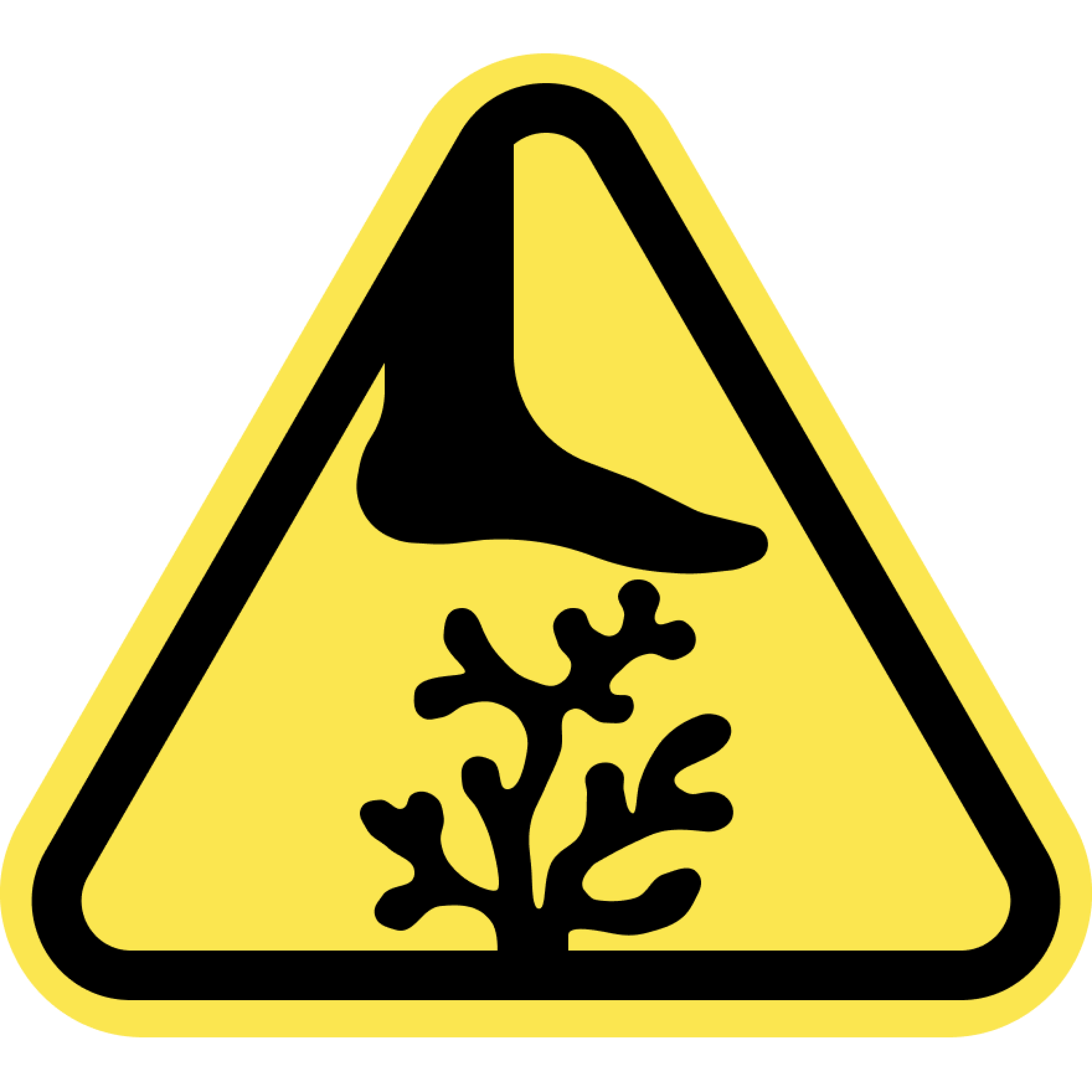
Sharp Coral
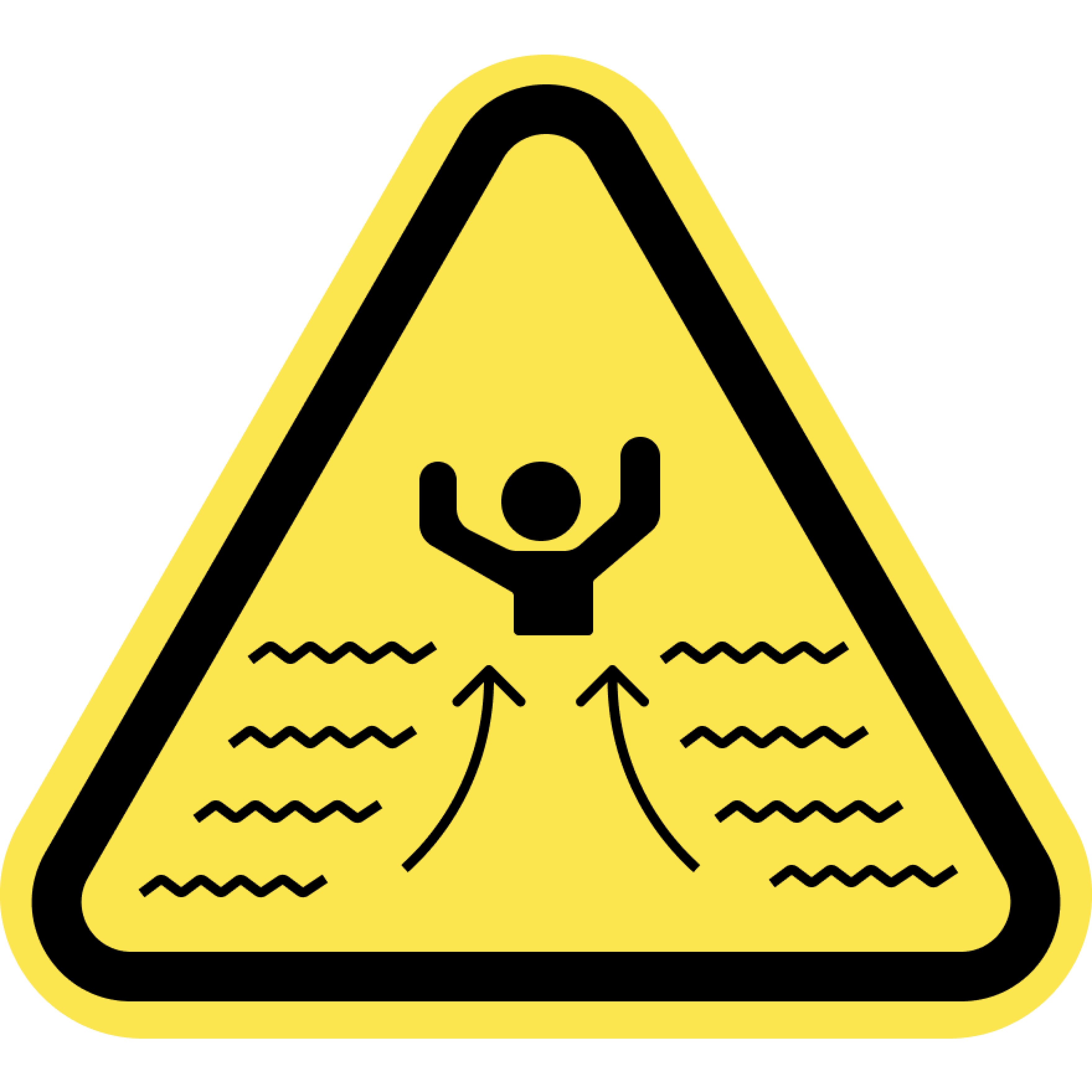
Strong Currents
Swim at your Own Risk
Beaches and oceans are dynamic natural environments. Crowd conditions, currents, waves, wild animals, and other water and beach conditions can rapidly change. The risks and conditions shown on this site are informational only and not always real-time. Actual conditions may differ. Lifeguards are not always on duty or available. Always remain aware of your surroundings and exercise due care for your own safety and the safety of others around you.
Always check for water warnings or check with a lifeguard before you swim.