


Caution
High Hazard
Extreme
Active/Upcoming Event
Keawaula Beach Park
Water Temperature
...
Wave Height
...
Wind
...
One of two beaches in Kaʻena Point State Park, Keawaʻula is popularly known as Yokohama, also the name of a surf site in the center of its sand beach. The name Yokohama is related to the Japanese fishermen who frequented the beach in the early 1900s, often riding the OR& L trains that ran from Honolulu around Kaʻena Point to Haleʻiwa until 1947. Yokohama is the port city in Japan that most Japanese immigrants to HawaiʻI sailed from and evolved as a nickname for the beach. In an article called Pana Waialua in the Honolulu Advertiser on February 12, 1933, the author identifies the railroad stopping place Yokohama, an indication that the name was already in common use by the 1930's.
The wide sand beach at Keawaʻula lies between two rocky points. Without the protection of a reef offshore, it is subject to high surf and strong currents throughout the year. For beachgoers heading west along the Waiʻanae coast, Keawaʻula is the last sand beach before Kaʻena Point. The shore at Kaʻena Point, rocky and backed by sand dunes, is frequented primarily by fishers and hikers. No vehicles are allowed beyond Keawaʻula.
amenities

Beach Access

Metered Parking

Picnic

Restrooms

Showers
activities

Fishing
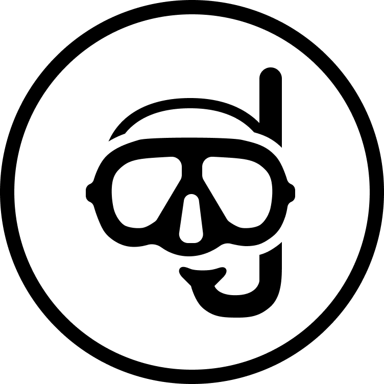
Snorkeling
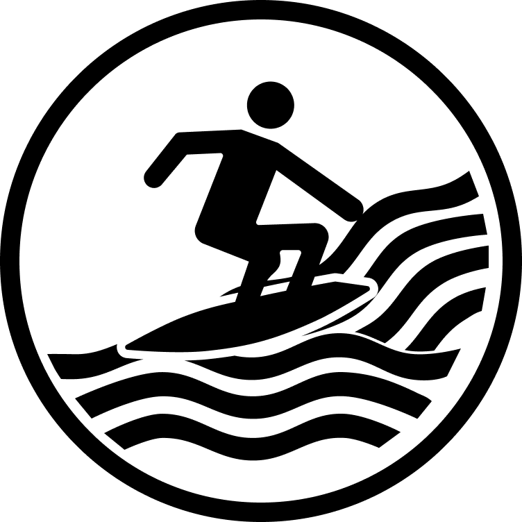
Surfing

Swimming

Camping
prohibitions

No Alcohol
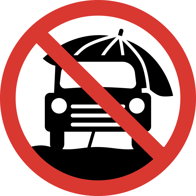
No Cars on Sand

No Cliff Jumping

No Dogs

No Fire Pits

No Smoking
hazards
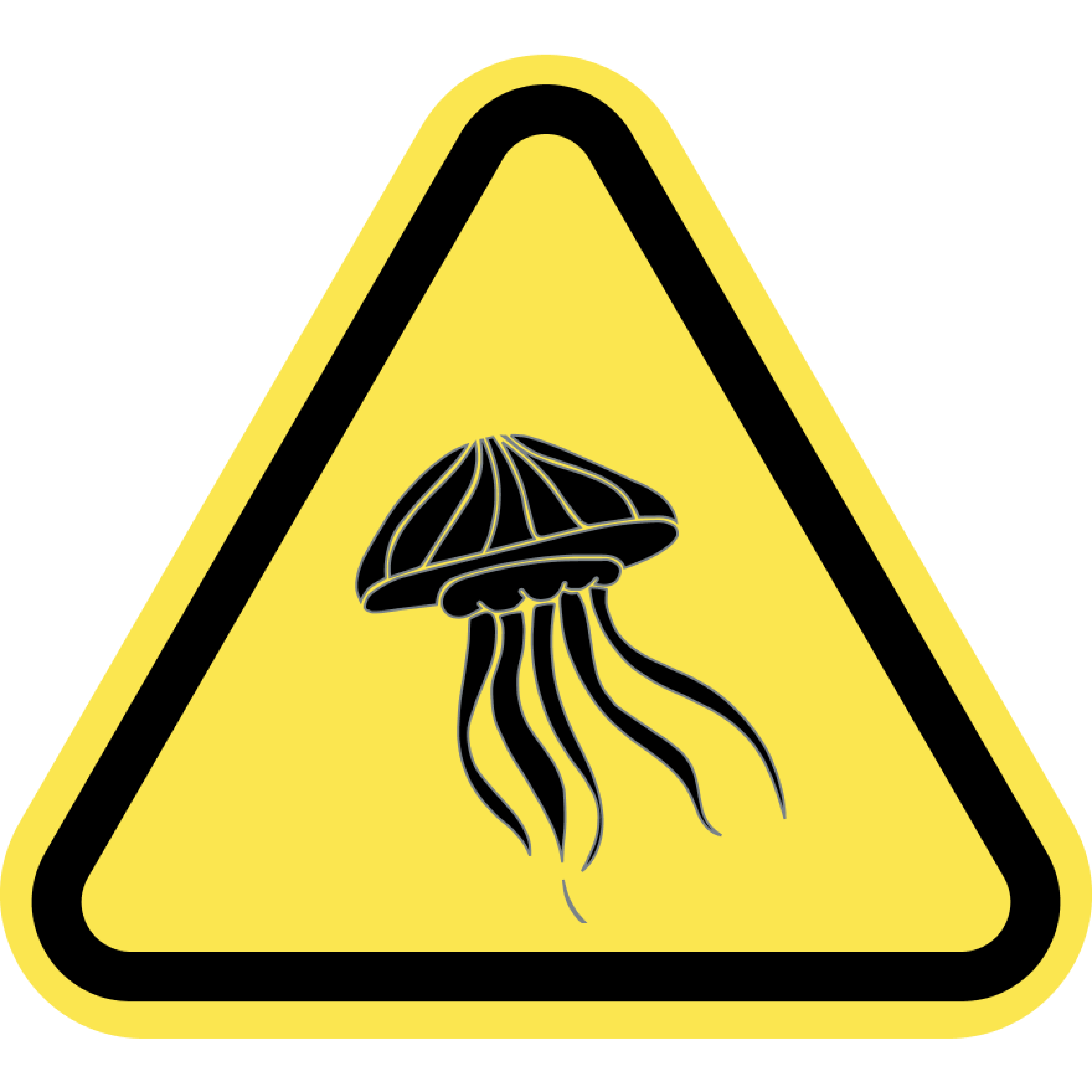
Jellyfish
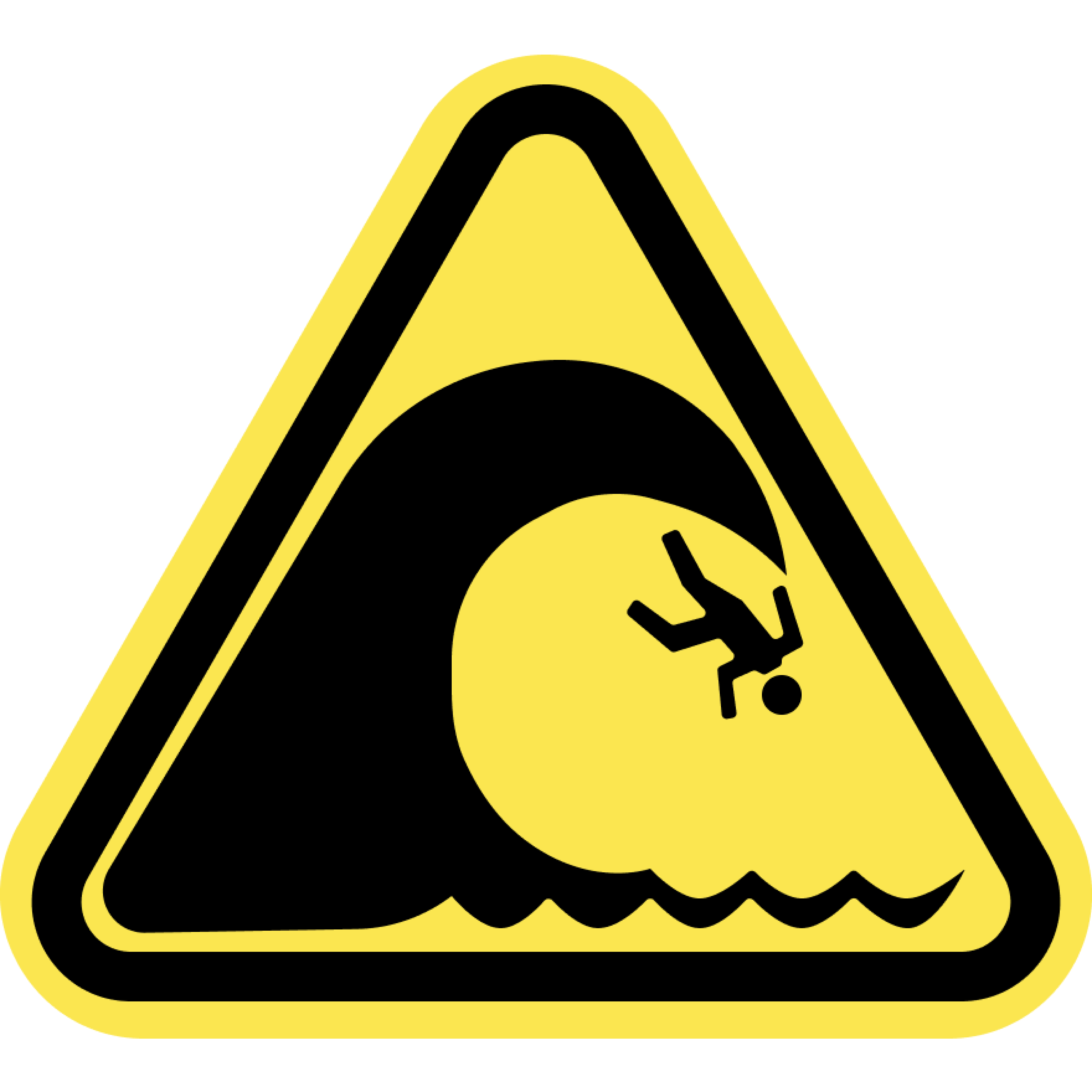
Large Waves
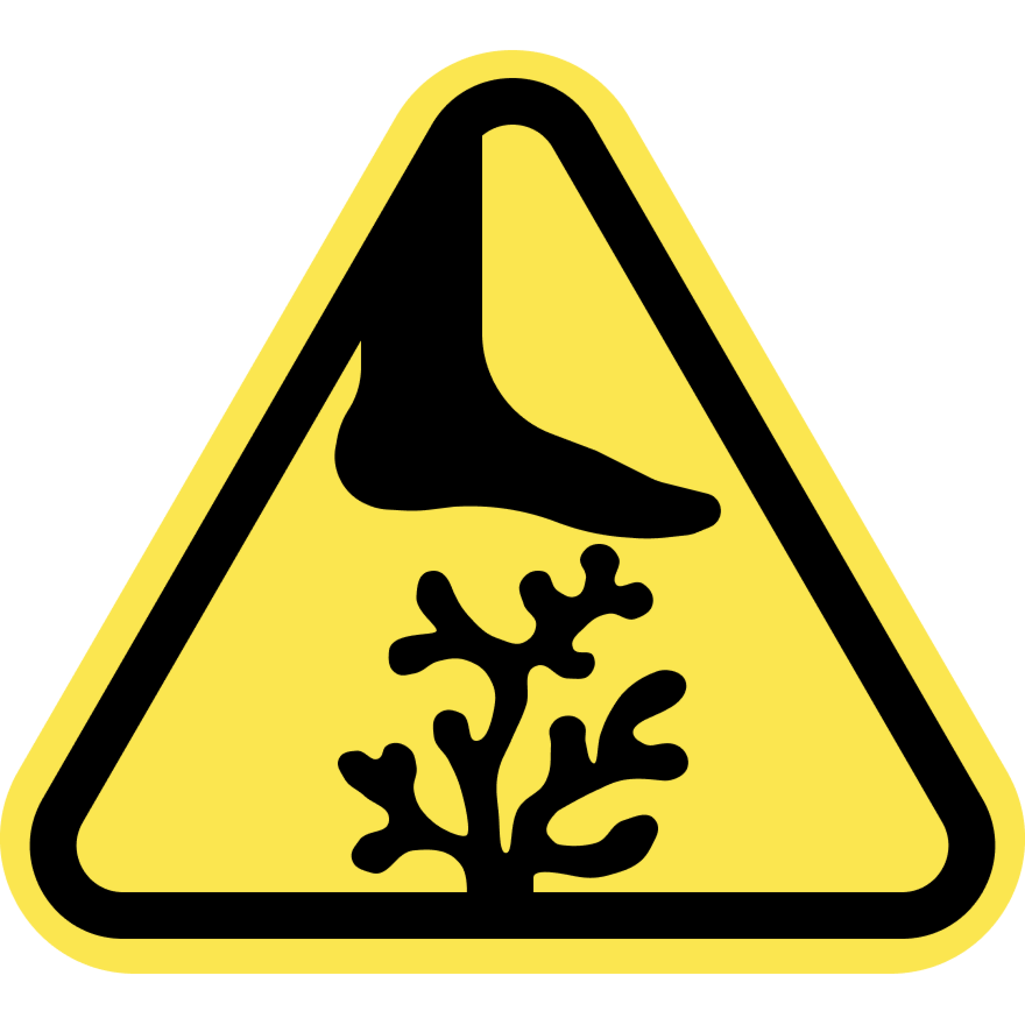
Sharp Coral
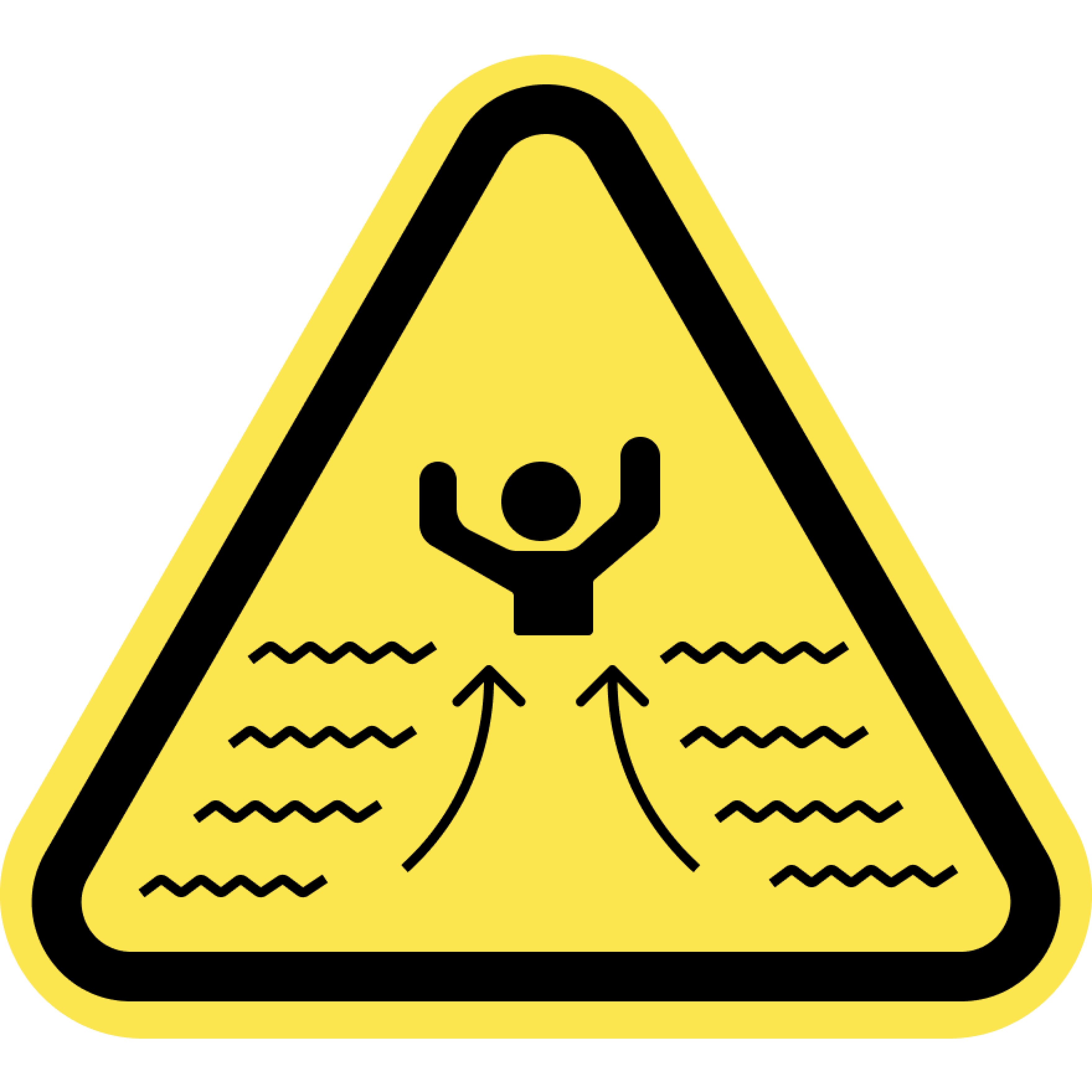
Strong Currents
Swim at your Own Risk
Beaches and oceans are dynamic natural environments. Crowd conditions, currents, waves, wild animals, and other water and beach conditions can rapidly change. The risks and conditions shown on this site are informational only and not always real-time. Actual conditions may differ. Lifeguards are not always on duty or available. Always remain aware of your surroundings and exercise due care for your own safety and the safety of others around you.
Always check for water warnings or check with a lifeguard before you swim.