


Caution
High Hazard
Extreme
Active/Upcoming Event
Kekaha
Water Temperature
...
Wave Height
...
Wind
...
Kekaha Beach Park lies near the end of the 15-mile-long beach that stretches along the Mana Coastal Plain from Polihale southward to Kekaha. The portion of the beach between the Pacific Missile Range Facility and the beach park includes several miles of shoreline winding around Kokole Point. Although there are no public rights-of-way to this shoreline, it is visited regularly by fishermen, surfers, joggers, and beachcombers. Most of them gain access either by driving over a number of unmarked dirt roads to the old landing strip or simply by following the beach from Kekaha Beach Park.
amenities

BBQ Grills

Free Parking

Picnic

Playground

Restrooms

Showers
activities

Fishing

Snorkeling

Surfing

Swimming

Volleyball
prohibitions

No Alcohol

No Camping

No Cars on Sand

No Dogs

No Fire Pits

No Fireworks

No Smoking
hazards
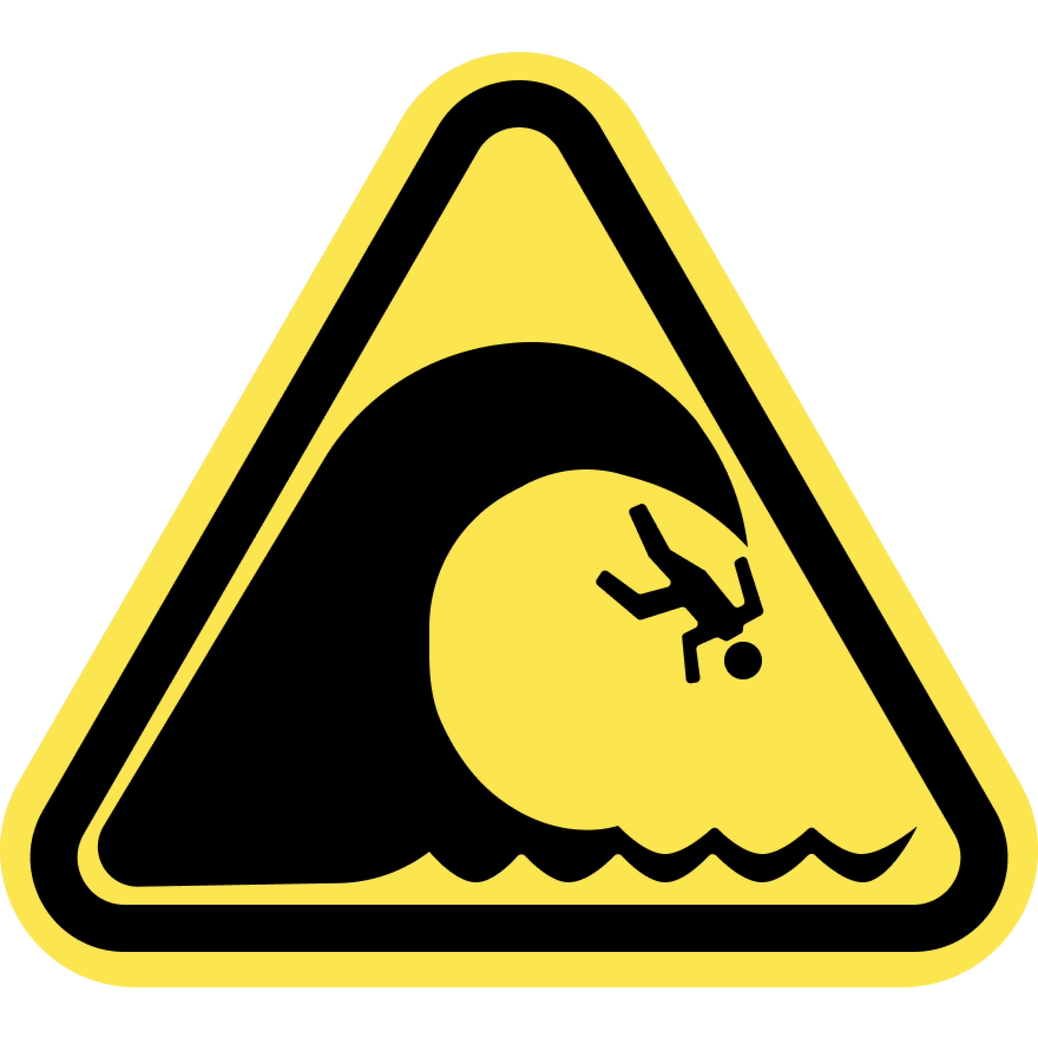
High Surf
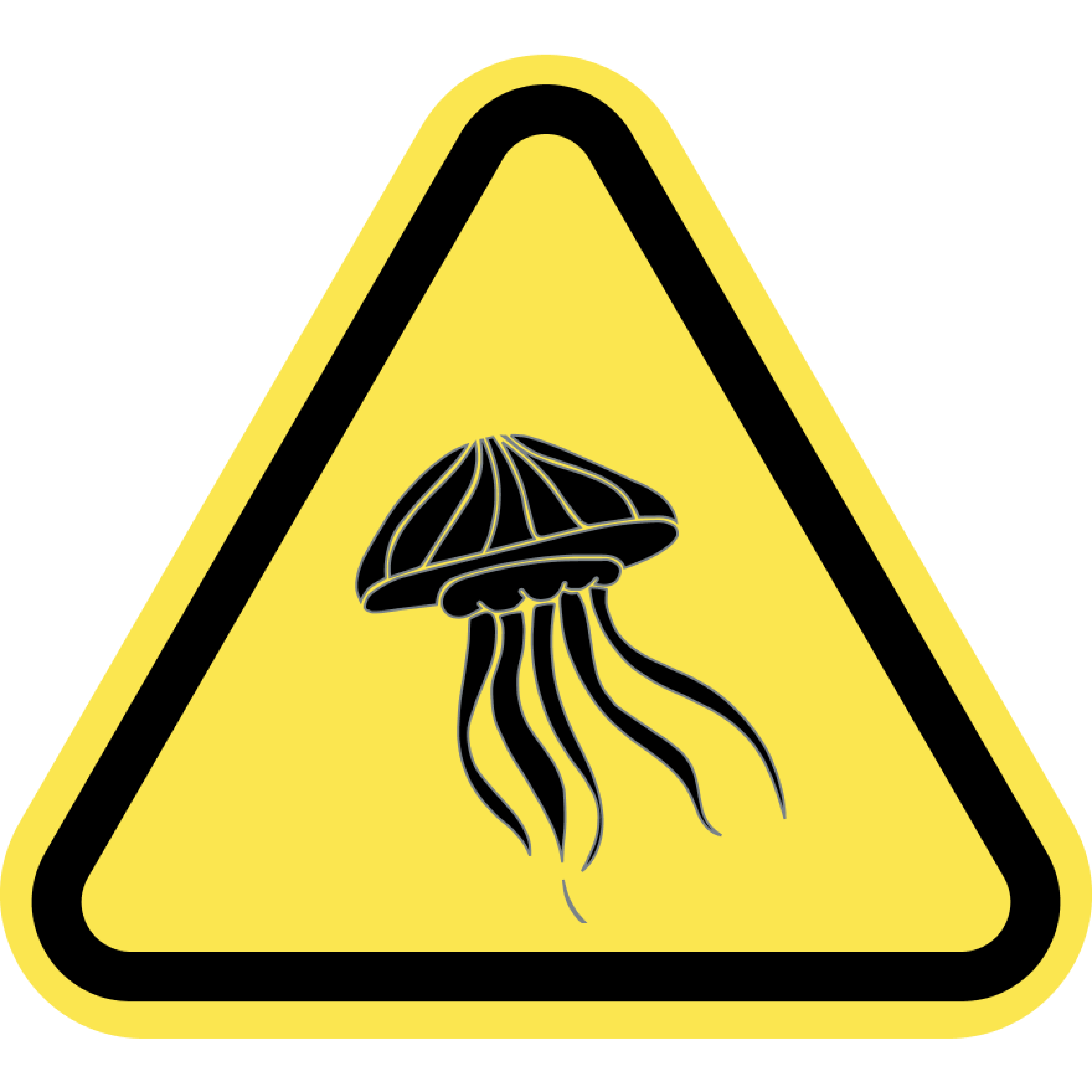
Jellyfish
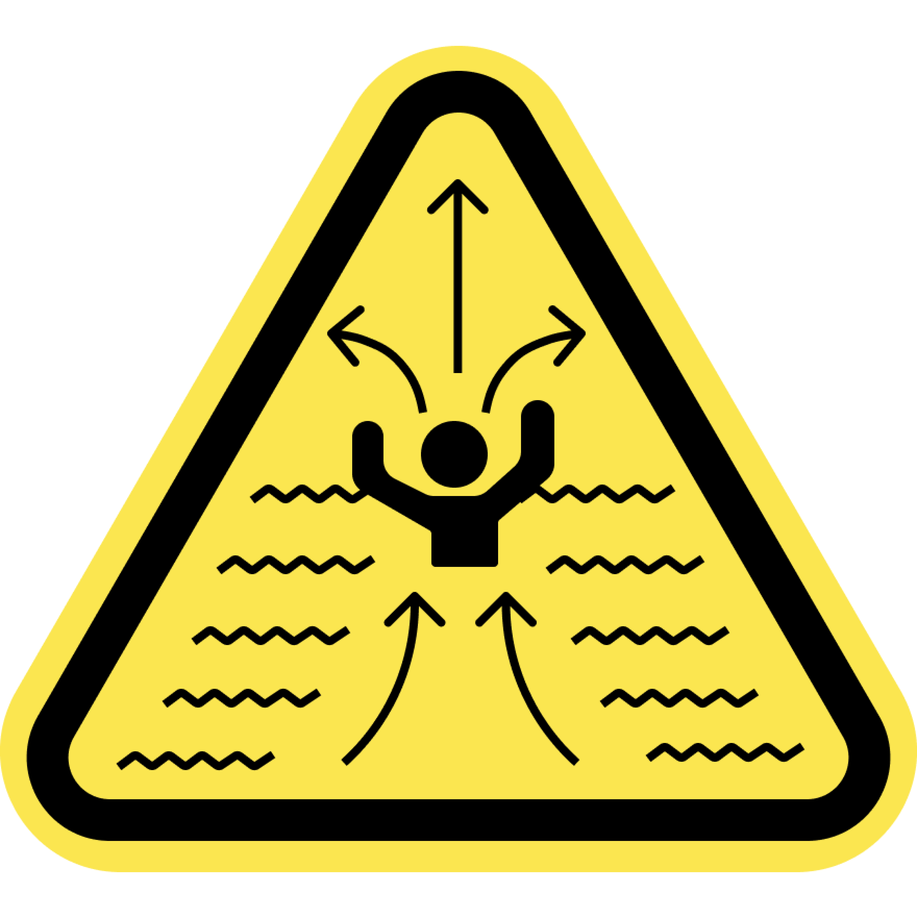
Rip Currents
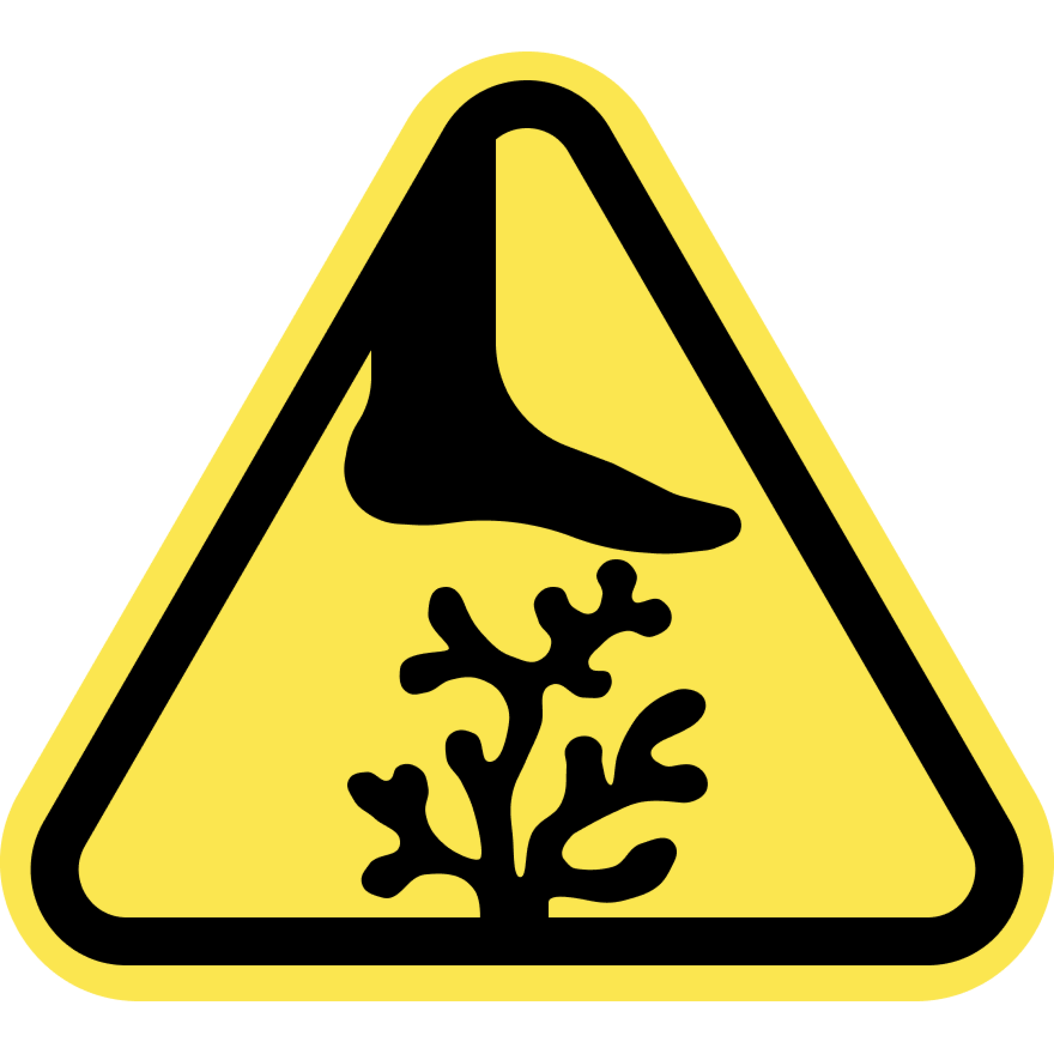
Sharp Coral
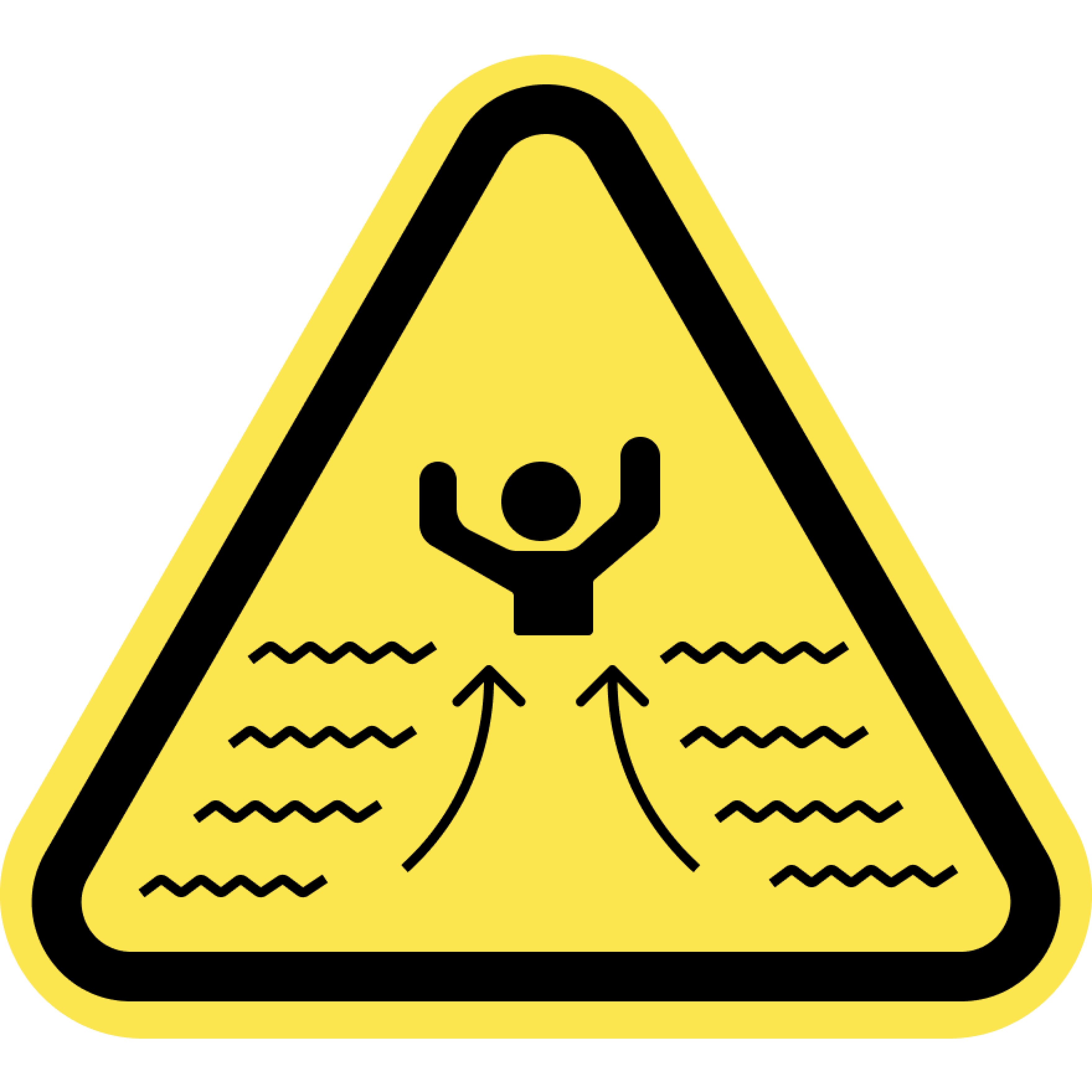
Strong Currents
Swim at your Own Risk
Beaches and oceans are dynamic natural environments. Crowd conditions, currents, waves, wild animals, and other water and beach conditions can rapidly change. The risks and conditions shown on this site are informational only and not always real-time. Actual conditions may differ. Lifeguards are not always on duty or available. Always remain aware of your surroundings and exercise due care for your own safety and the safety of others around you.
Always check for water warnings or check with a lifeguard before you swim.