


Caution
High Hazard
Extreme
Active/Upcoming Event
Waikiki
Water Temperature
...
Wave Height
...
Wind
...
Waikiki consists of several beaches, more specifically Kapiolani Park Beach, Queen Kapiolani, Duke Paoa Kahanamoku, Kuhio Beach Park.
Kapiʻolani Beach Park occupies most of shore bordering Kapiʻolani Park. This steep, narrow beach has generally very small waves and a lifeguard tower, making it ideal for less experienced swimmers. The offshore reef, groins, and seawalls may be sharp and dangerous and should be approached with caution. The beach narrows to the east, and is backed by a seawall and walkway.
Kapiʻolani Beach Park occupies most of shore that borders Kapiʻolani Beach Park. This steep, narrow beach has generally very small waves and a lifeguard tower, making it ideal for less experienced swimmers. The offshore reef, groins, and seawalls may be sharp and dangerous and should be approached with caution. The beach narrows to the east, and is backed by a seawall and walkway.
Kahanamoku Beach lies between the Ala Wai Small Boat Harbor to the west and the Hilton Hawaiian Village’s catamaran pier to the east. A shallow reef protects the beach and provides a popular swimming area for families with children. Kahanamoku Lagoon is adjacent to Kahanamoku Beach where its shallow sandy bottom slopes to a depth of fourteen feet at its center. Kaisers, one of Waikiki’s well-known surf sites, is on the west margin of the boat channel that passes through the reef.
Kuhio Beach Park lies between the Sheraton Moana Surfrider Hotel and the Kapahulu Groin. Prior to 1951, the east end of the park was fronted by a shallow reef and was called "Stonewall" for the vertical seawall that supported Kalakaua Avenue. The Waikiki Beach Improvement Project, completed in July 1951, changed the area dramatically when James W. Glover, Ltd., constructed a large pedestrian groin into the ocean. Officially known as the Kapahulu Groin, the pier is an extension of a storm drain that runs under Kapahulu Avenue. The project also included constructing the low retaining wall on the Diamond Head side of the groin and importing sand to create the beaches on both sides.
amenities

Metered Parking

Rentals

Restaurants Nearby

Restrooms

Showers
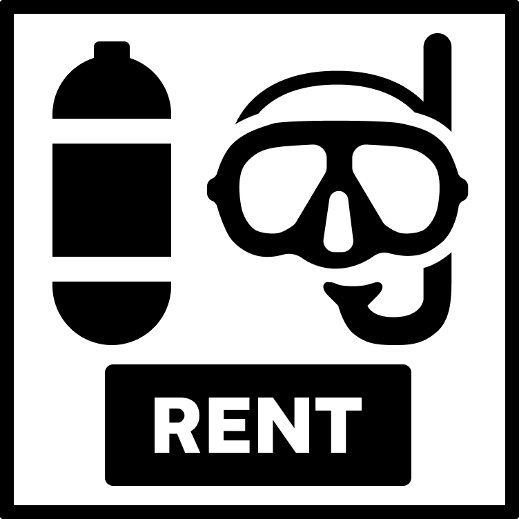
Gear Rental
Accessibility Mat
activities

Scuba

Snorkeling
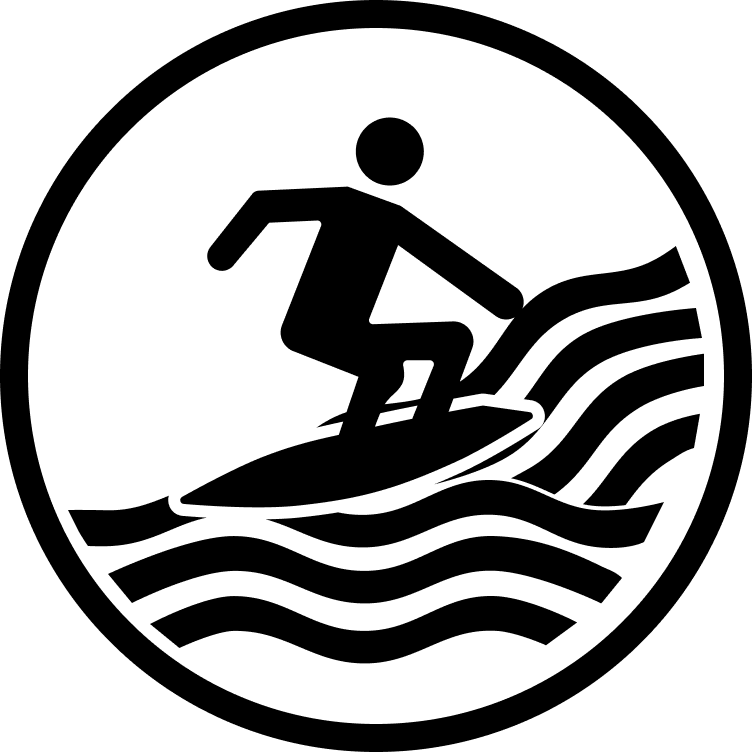
Surfing

Swimming

Volleyball
prohibitions

No Alcohol

No Camping

No Cars on Sand

No Cliff Jumping

No Dogs

No Fire Pits

No Smoking
hazards
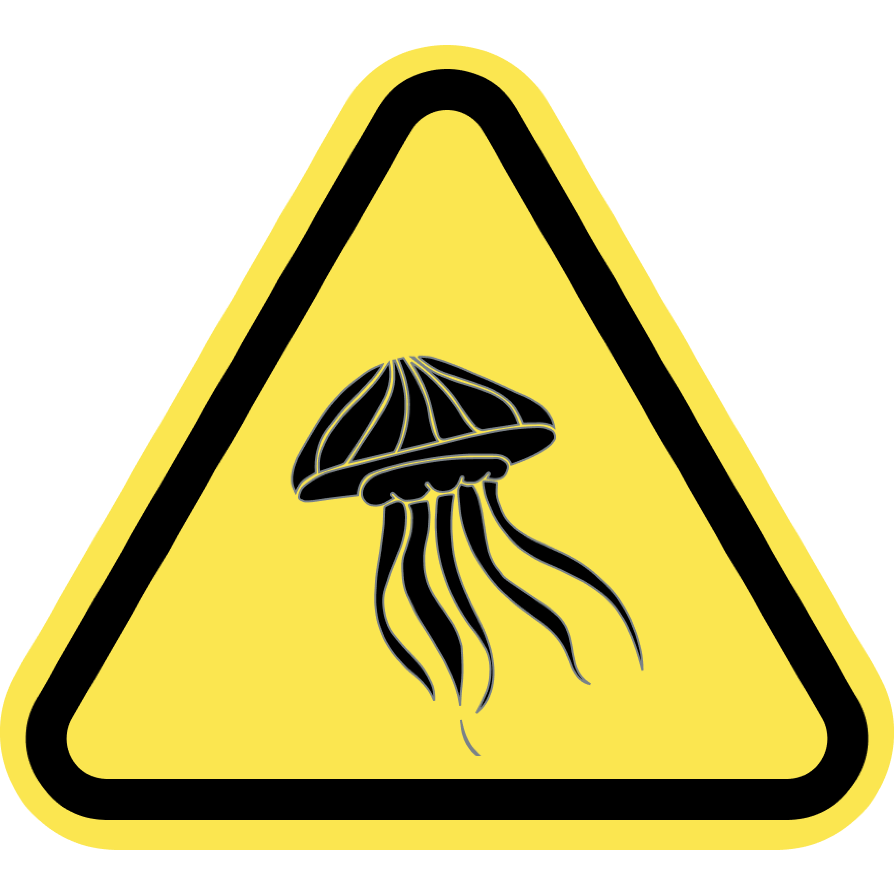
Jellyfish
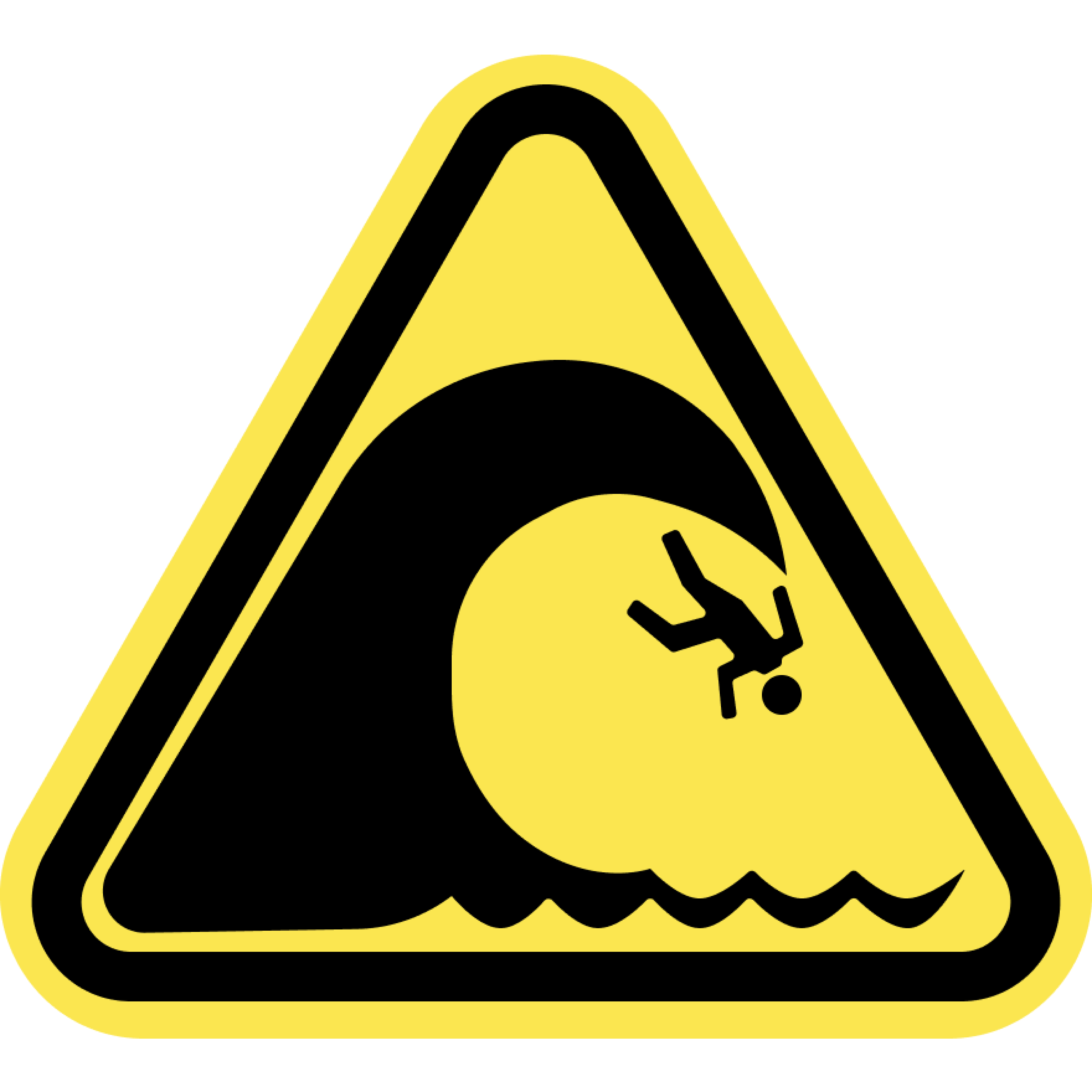
Large Waves
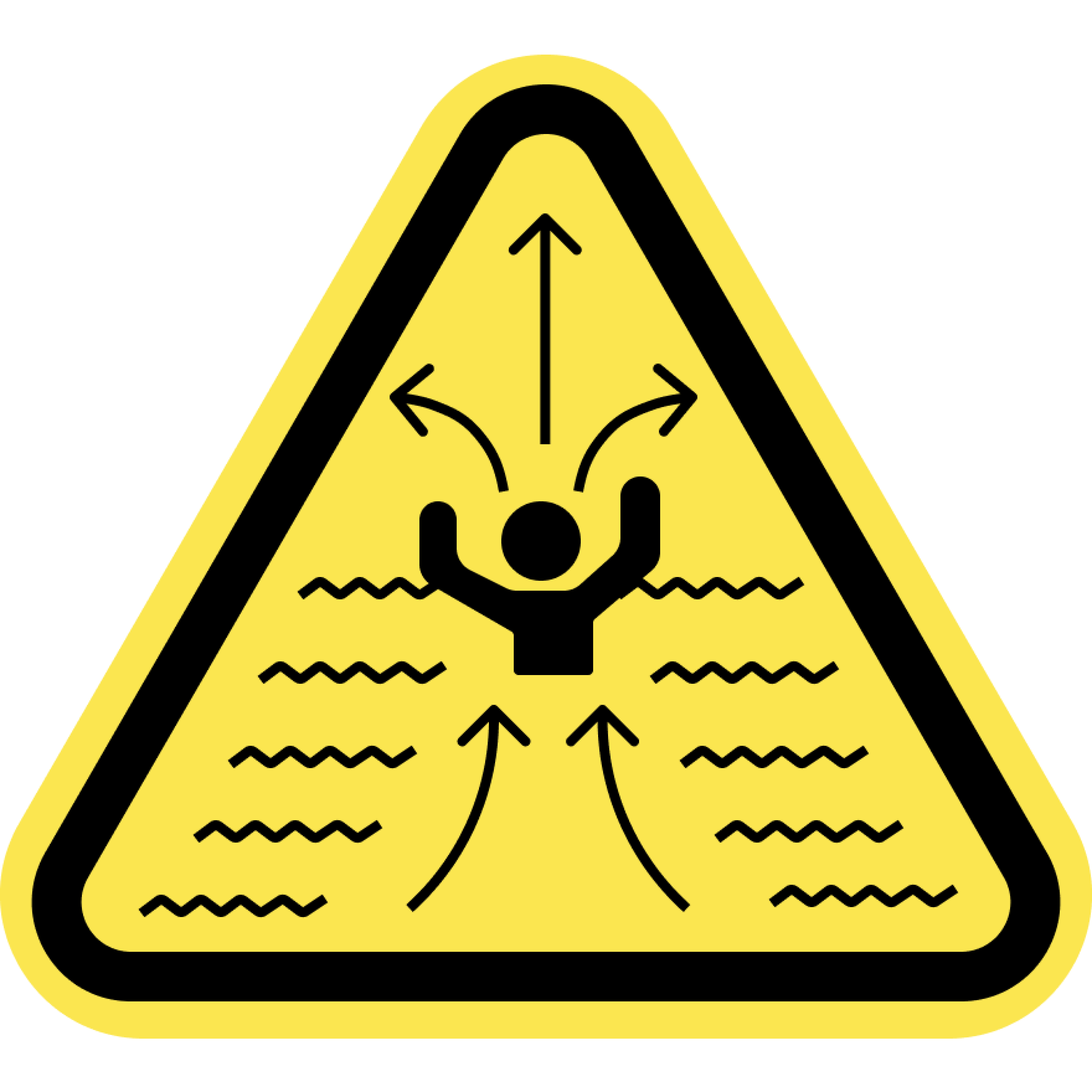
Rip Currents
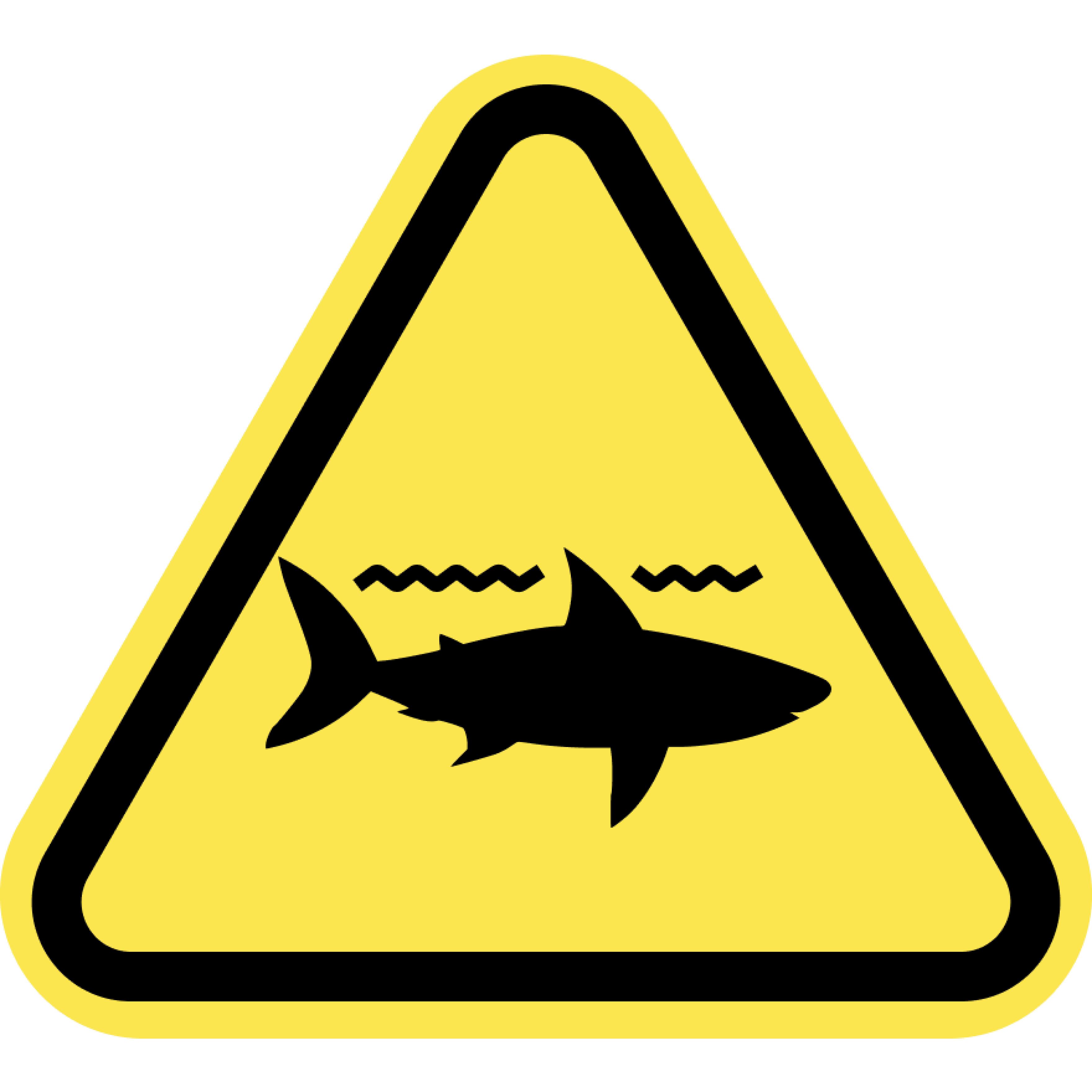
Sharks
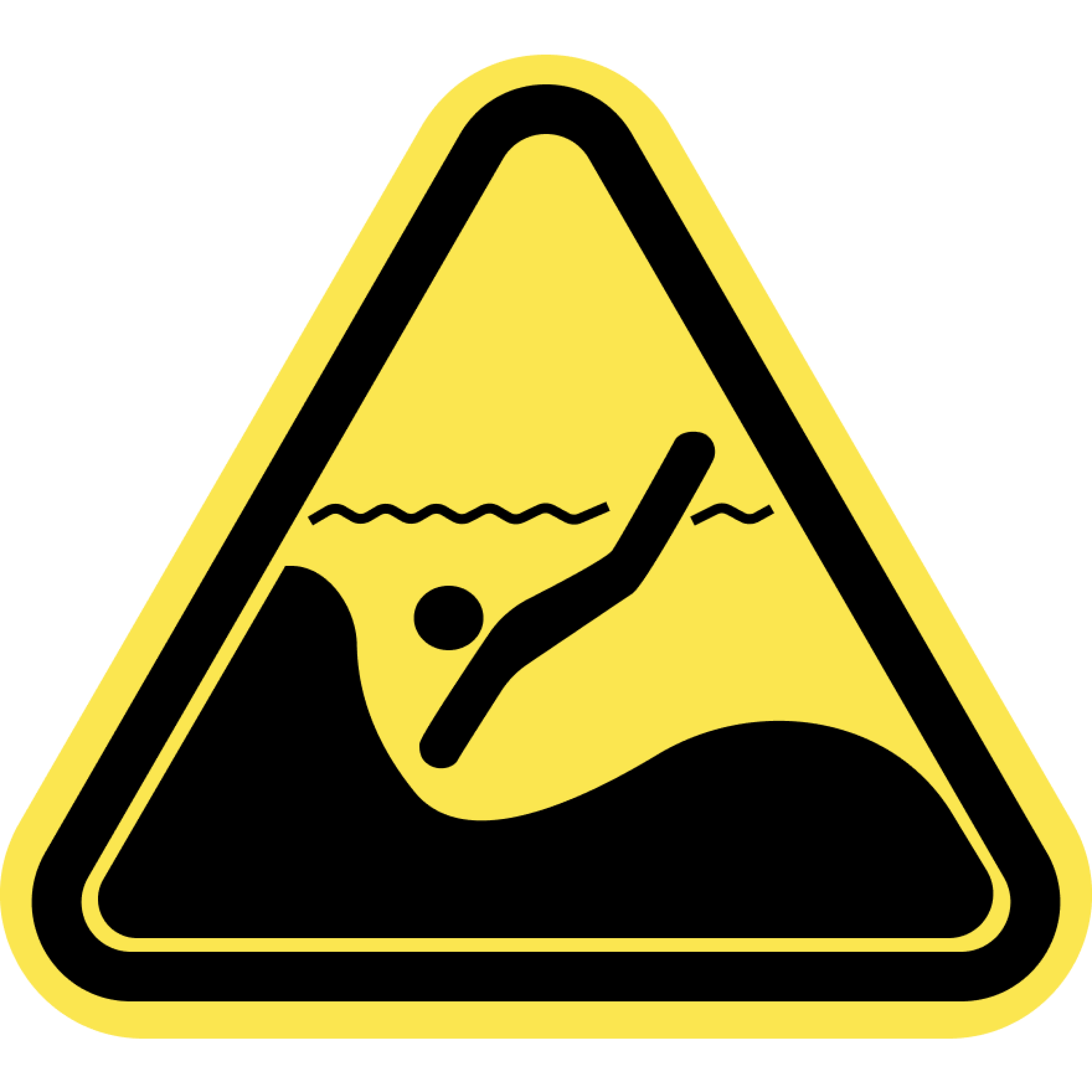
Submerged Objects
Swim at your Own Risk
Beaches and oceans are dynamic natural environments. Crowd conditions, currents, waves, wild animals, and other water and beach conditions can rapidly change. The risks and conditions shown on this site are informational only and not always real-time. Actual conditions may differ. Lifeguards are not always on duty or available. Always remain aware of your surroundings and exercise due care for your own safety and the safety of others around you.
Always check for water warnings or check with a lifeguard before you swim.